
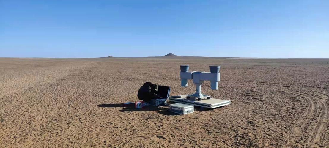
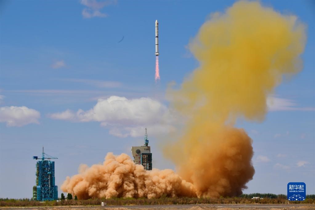
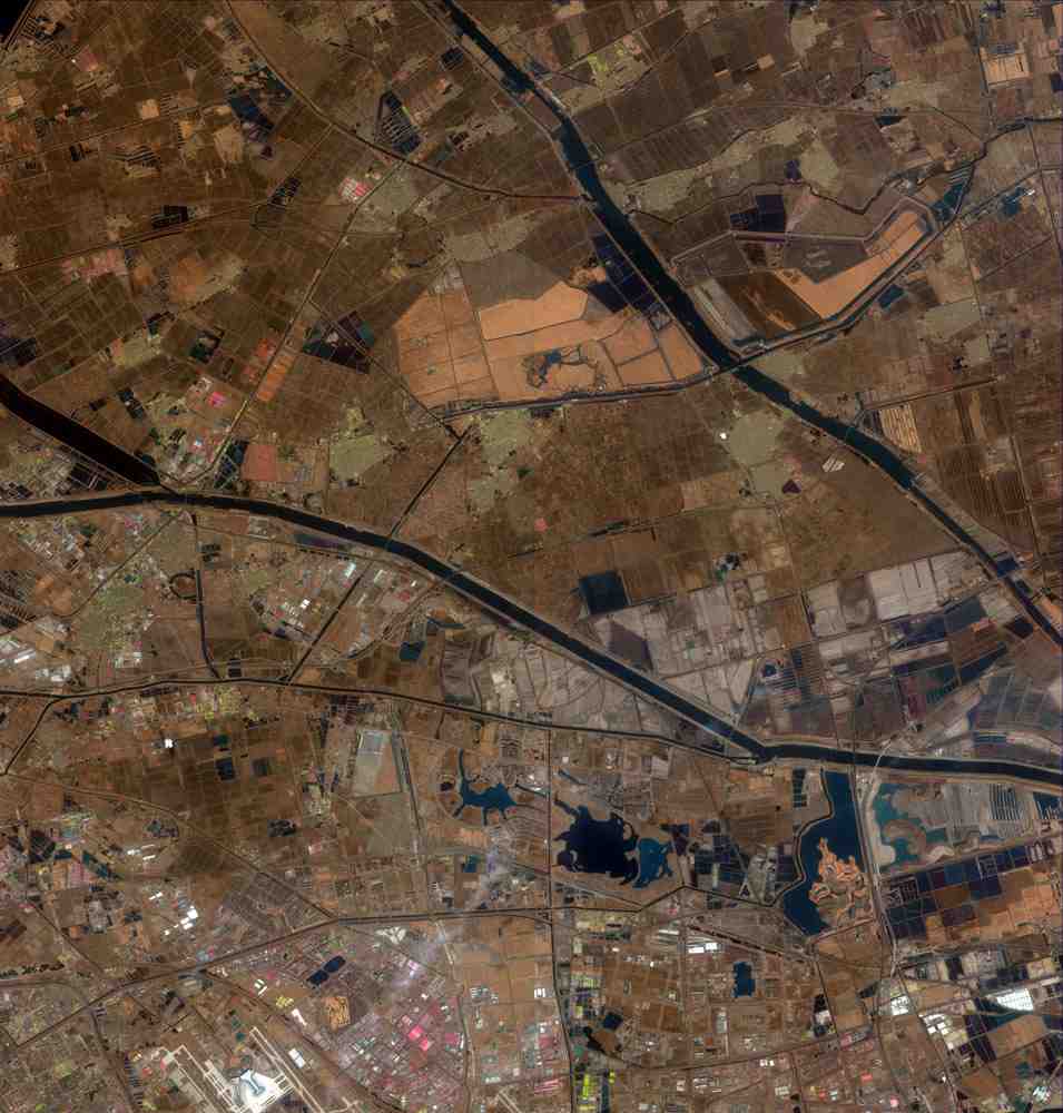
- | The in-orbit test of Gaofen-3 02 satellite was successfully carried out, and the field SAR calibration test data was successfully obtained
On December 31, 2021 and January 1, 2022, the Gaofen-3 02 satellite carried out imaging and shooting of the SAR calibration fi...
2022-07-25
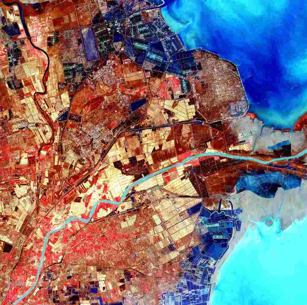
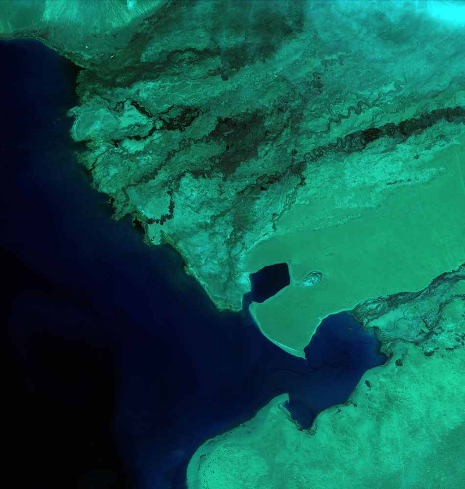
- | Land Observation Satellite Monitoring Tonga Volcanic Eruption
On January 14 and 15, 2022 local time, the submarine volcano of Hongahaapai Island, about 65 kilometers north of Nuku'alof...
2022-07-25
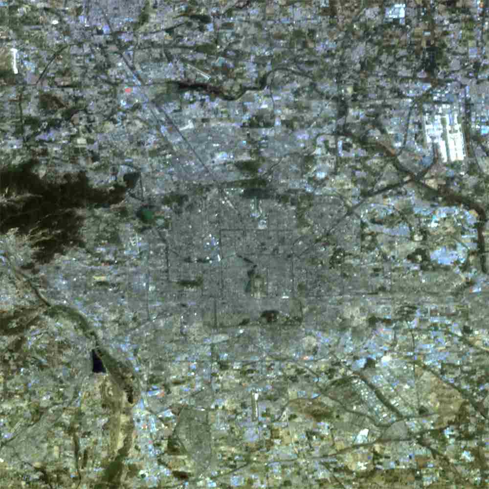
- | Emergency Service Land Observation Satellite Helps China Eastern Airlines Passenger Plane Crash Resc
At about 14:38 on March 21, 2022, when a Boeing 737-800 flight MU5735 of China Eastern Airlines was performing the Kunming-Gua...
2022-07-25
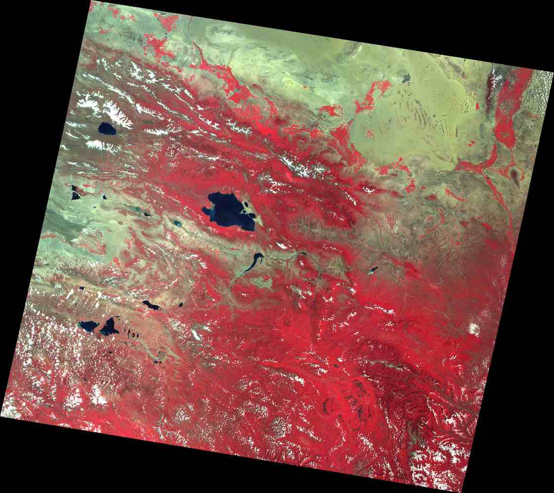
- | Land Observation Satellite Monitoring of the Tieling Fire in Pakistan and Liaoning
Recently, forest fires causing casualties and property losses, occurred successively in Mount Sulaiman, Sharani District, Balo...
2022-07-25
-
-
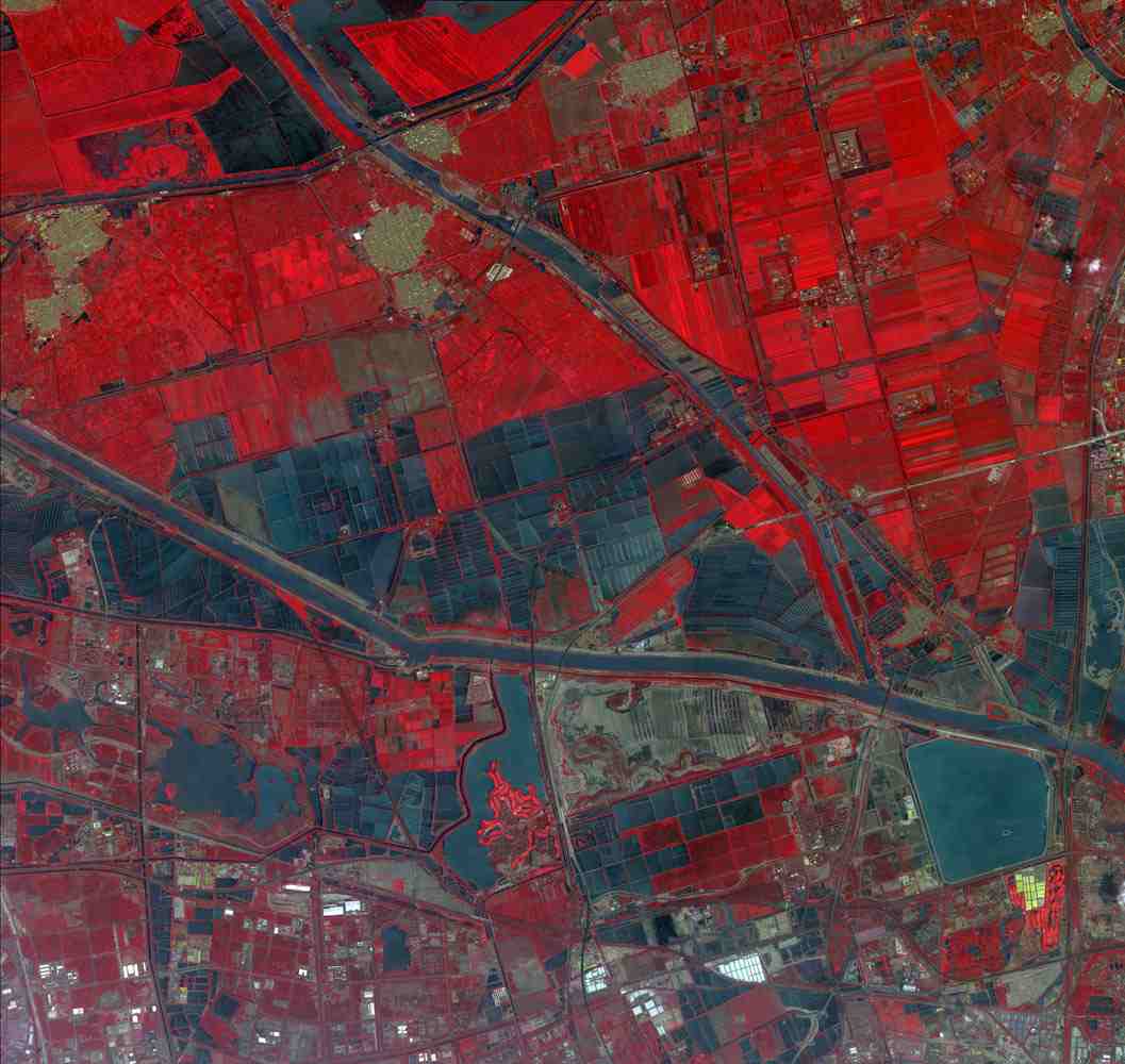
Satellite data used in flood ...
Satellite data used in flood reliefBy chinadaily.com.cn;on 2020-07-16 14:09From:http://www.chinadaily.com.cn/a/202007/16...
2022-07-16